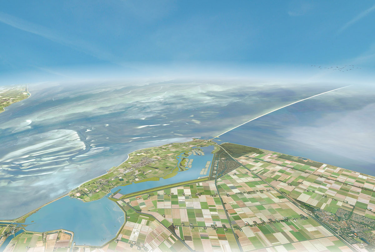

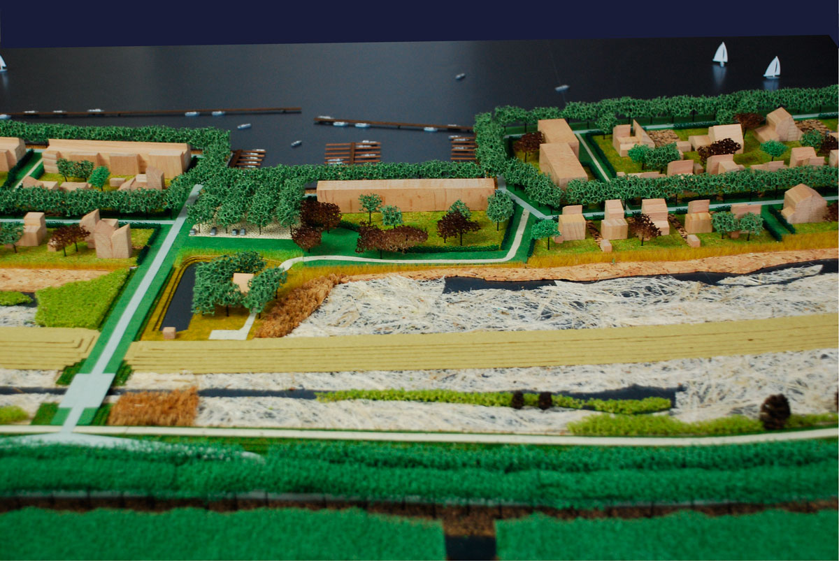
The Wieringerrandmeer Masterplan is an elaboration of a previous vision by Bureau Hosper, which proposed separating the original island Wieringen from the mainland again. Wieringen will remain visible behind the old Wierdijk as an autonomous and authentic landscape. The new residential fields in the shape of tidal marshes address the new lake and remain at a distance from the former wadden island.
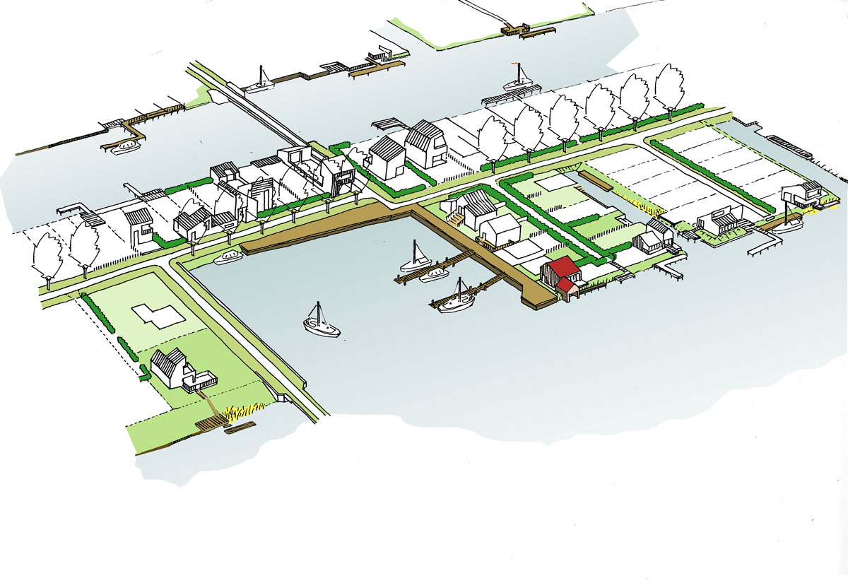
The tidal marshes consist partly of reed beds and grassland and partly of gardens belonging to houses. In a number of strategic places the ‘capes’ have been made accessible to the public. As a result, standing at the tip of the cape one can enjoy the commanding view of the large lake.
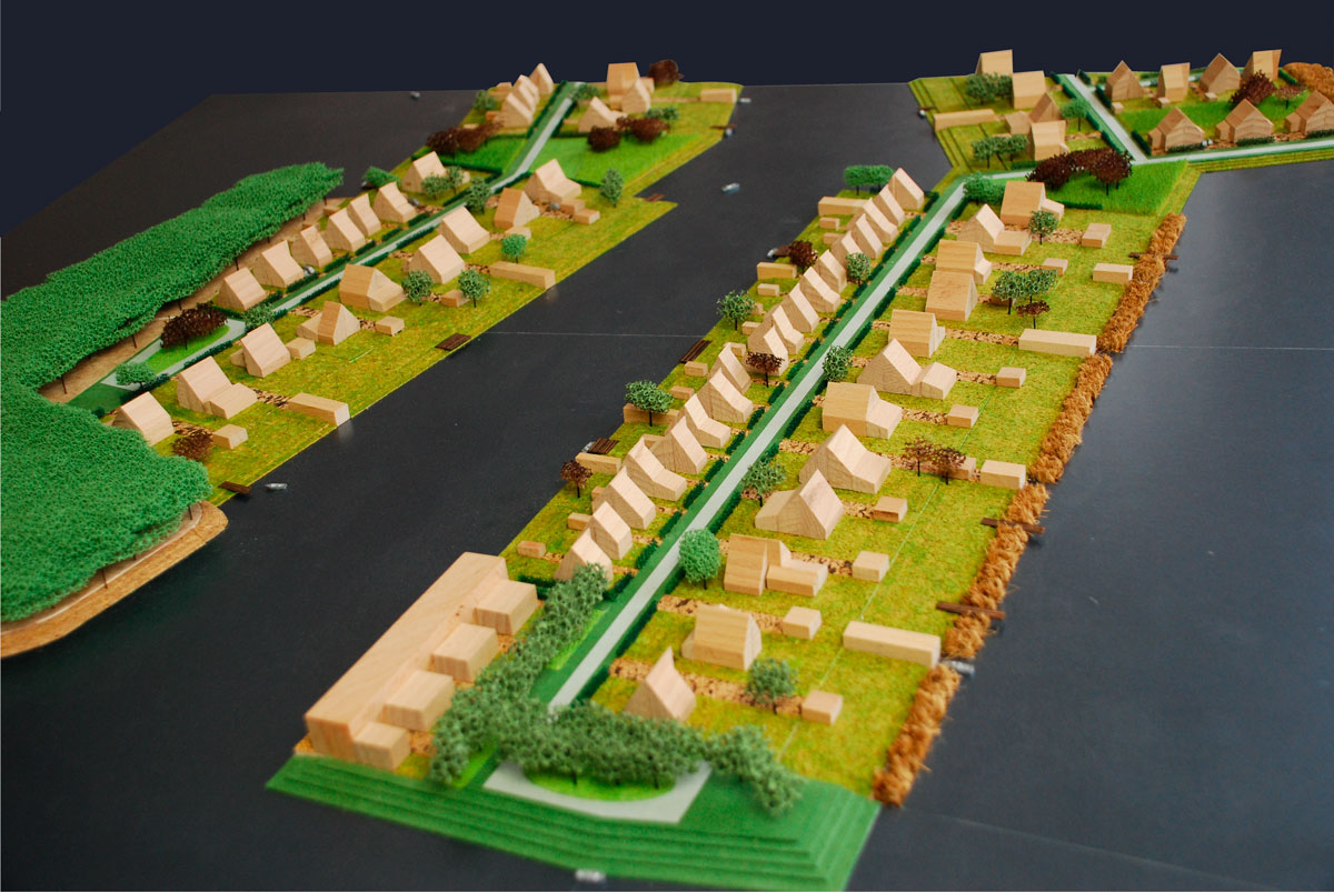
On the south and east side of the new border lake the dwellings are not embedded in the landscape of tidal marshes. While part of the dwellings (low density) is concealed in an extension of the Robbenoord wood in the Wieringermeer polder, it is the plots of the other part that make up the landscape in the shape of an elongated island.