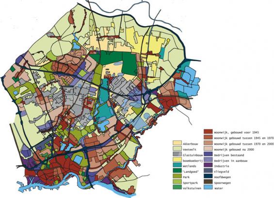

Zuidplaspolder, Zuid-Holland, 2002
Each year, 80 hectares of the barren and chaotic landscape of the Zuidplaspolder turn into stone by being built up or paved. In conjunction with HNS we designed a ‘structural image’ that lends quality, proportions and scale to this landscape and prepares it for future transformations: first structure, then claims.
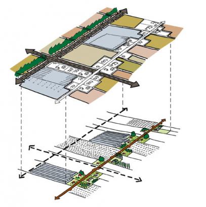
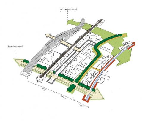
Stratification is the leading principle. The lowest lying southern part will remain free from urbanisation to evolve into wetlands and a wildlife area. In the northern part the polder grid will be continued. It will be turned into a ‘plantation landscape’ by doubling the ribbons, planting trees along avenues and digging wide watercourses.
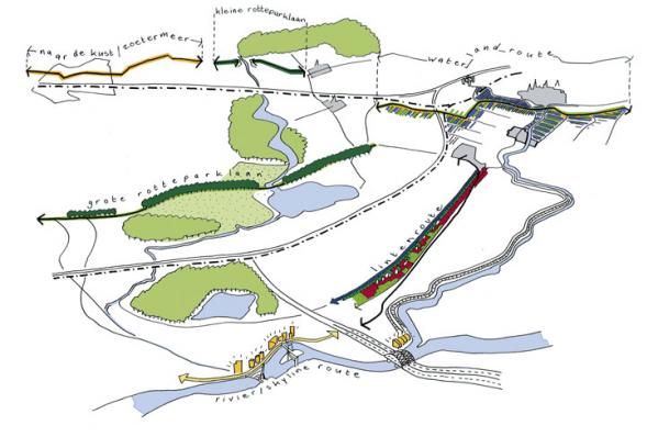
The polder pattern will be intetwined with regional roads, running parallel, though at some distance, to the motorways. They will showcase the qualities of the area and interweave the Zuidplaspolder with the network city of the Zuidvleugel.