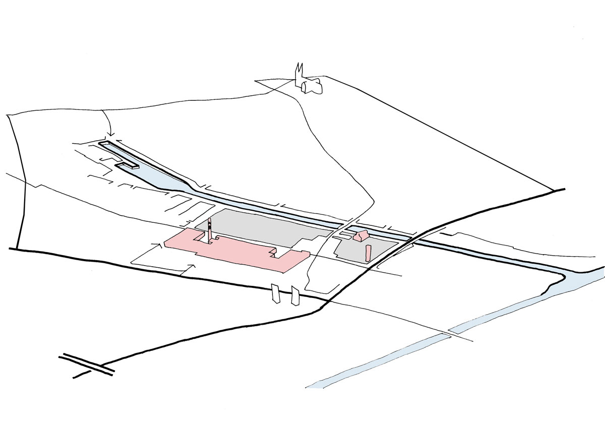
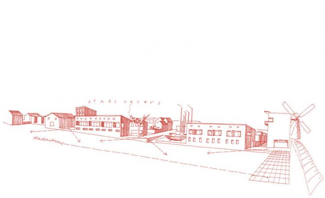
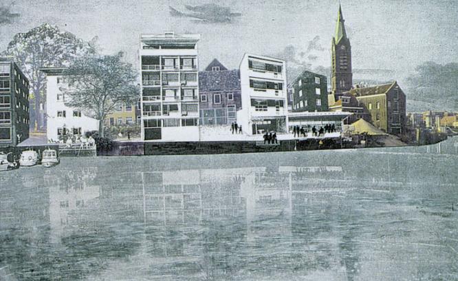
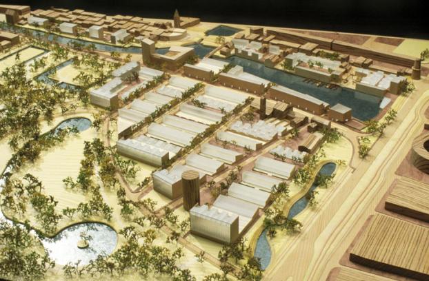
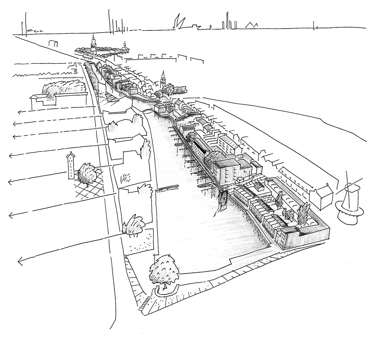
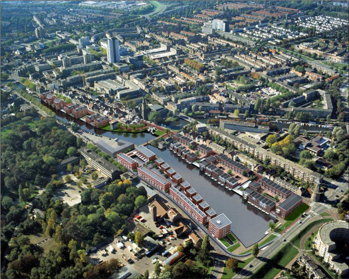
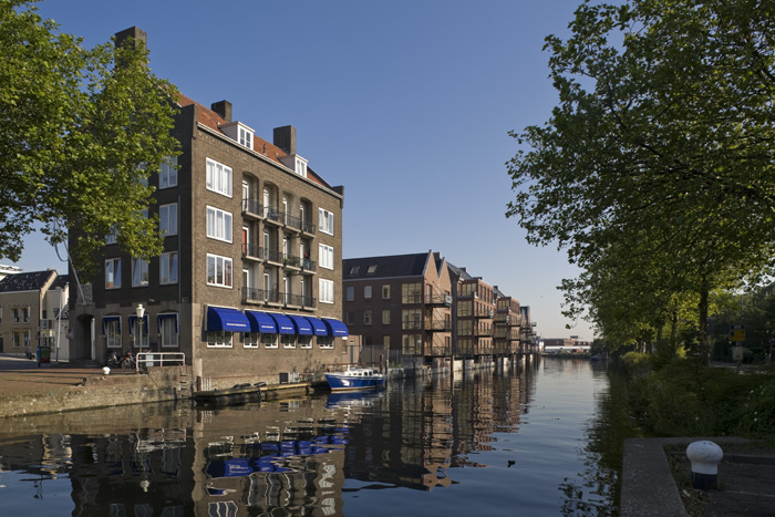

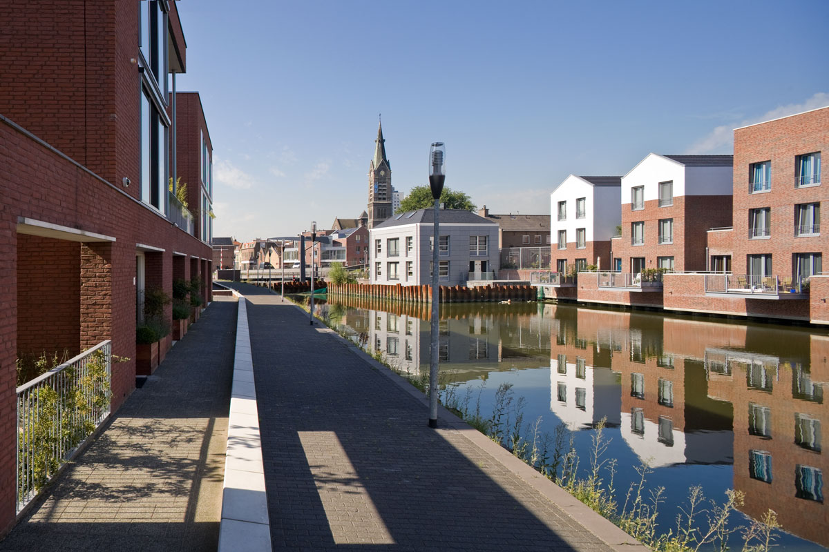
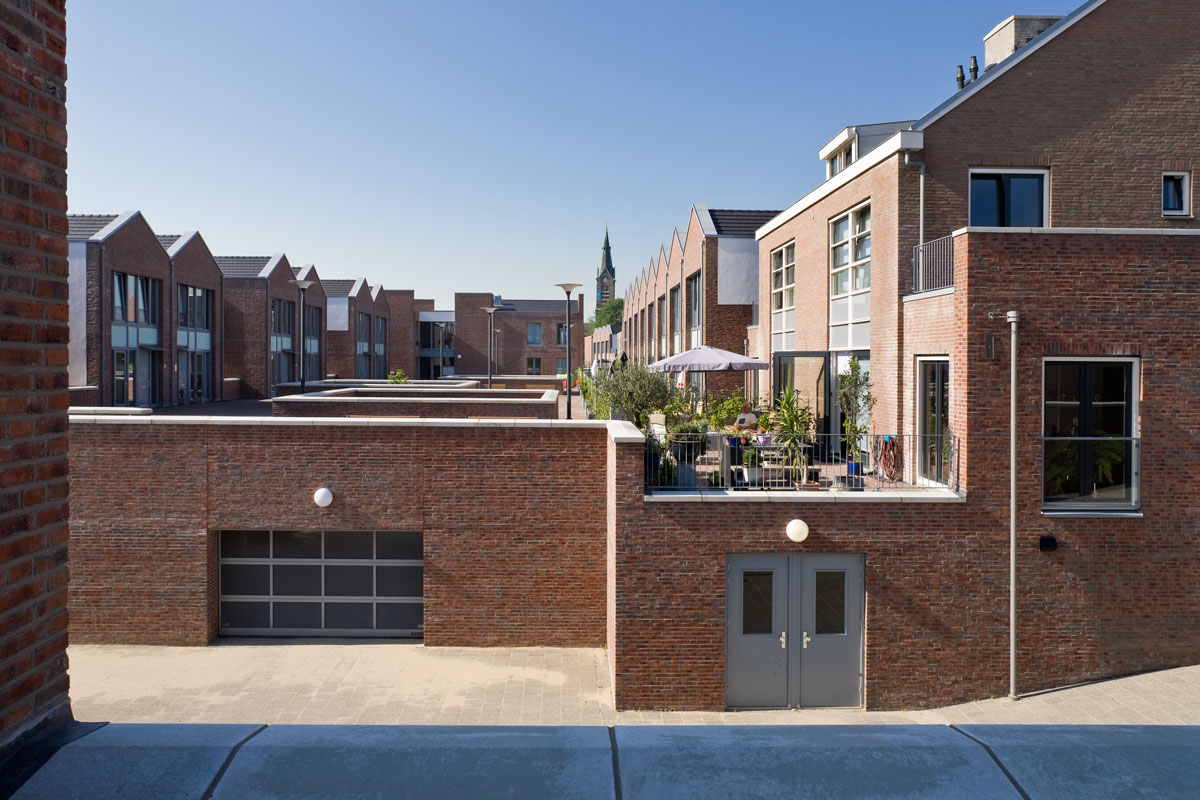
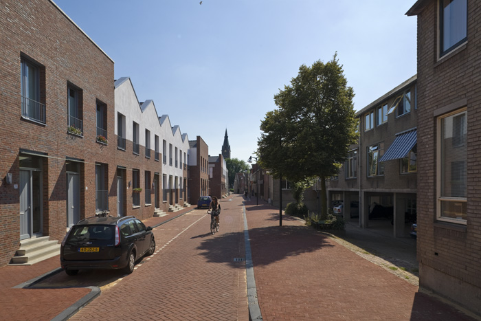
The plan area is located on the edge of the old town centre on both sides of an old harbour basin and borders in the east on a lush 19th century town park. Our plan has transformed this area from a somewhat forgotten far-off corner into a link between the town centre and the park. The water divides the plan into two different urban domains: that of the ‘town waterside’, where the plan picks up the old structure of narrow alleys, views through, bustle and harbour activities; and that of the ‘town gardens’, where the residential environment was grafted onto the presence of the park. On the spot where a new bridge connects the town waterside with town gardens stands the civic building that accommodates a whole range of urban functions and unique dwelling types.
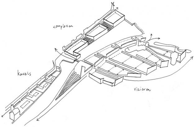
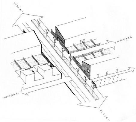
As the area was being built up step by step, a set of rules was formulated to steer the elaboration of the plan. This so-called ‘printed circuit board’ regulated, like a ‘Pompeii in reverse’, coherence between buildings and public space.